Northlake
Northlake’s municipal resources describe a mix of open land and development near major roads, with Texas Motor Speedway and the Alliance corridor as nearby regional reference points.
Getting to know Northlake
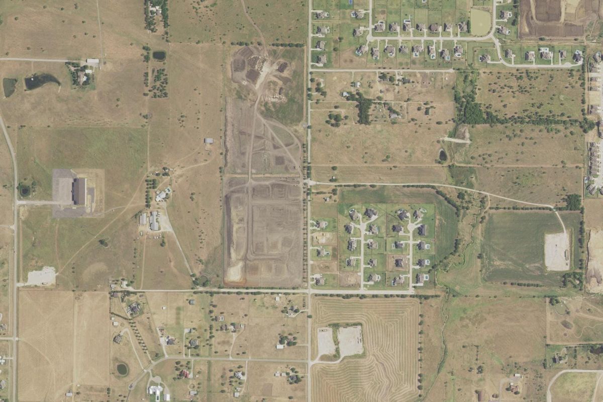
Northlake’s municipal resources describe a mix of open land and development near major roads, with Texas Motor Speedway and the Alliance corridor as nearby regional reference points. Individual neighborhoods can have a different street and open-space pattern from the broader town.
The Northlake Next comprehensive plan and parks master plan guide future land use, roads and recreation. Town maps show city limits, zoning and planned infrastructure. These are useful context for a property, but a proposed park or road should not be treated as an operating amenity.
Places to know
Town maps. Official maps identify limits, zoning and infrastructure context.
Northlake Next plan. The town’s adopted planning resource describes its future land-use approach.
Parks and open-space plan. A municipal guide for recreation priorities and future facilities.
Check at the address, not the town name
- Confirm the parcel’s jurisdiction and association or district obligations; a Northlake-area neighborhood label does not replace property documents.
- Compare current maps and capital-project status with the long-range plan before assuming that a future street or park is available.
- School attendance zones, flood risk, HOA obligations, utilities and property taxes follow the exact address. Use current records: TEA school district locator, FEMA flood maps, county appraisal districts.
Sources
- Home values: Zillow Home Value Index (ZHVI), Aug 2026; typical value, Northlake citywide.
- Mortgage rate: Freddie Mac Primary Mortgage Market Survey, 10-08-2026.
- Town of Northlake: community
- Town of Northlake: comprehensive plan
- Town of Northlake: maps
- Town of Northlake: parks master plan
- NCTCOG regional city and community reference
- NCTCOG January 1, 2026 population estimates
Selling in Northlake?
Get a plan for your home: a suggested list price from recent nearby sales, what to fix first, and a timeline.