Pilot Point
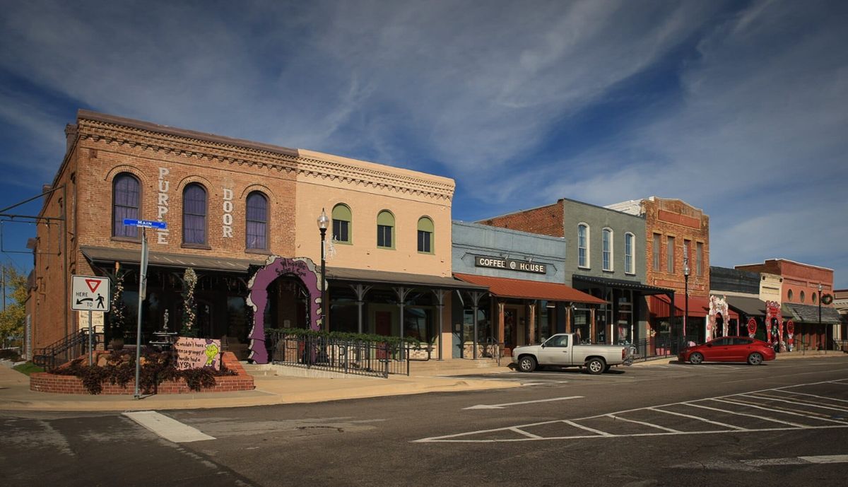
Pilot Point’s historic square is a commercial and civic center with a documented walking tour.

Getting to know Pilot Point
Pilot Point’s historic square is a commercial and civic center with a documented walking tour. The downtown historic district preserves buildings connected with the city’s earlier commercial life.
The city’s downtown redesign and parks master-plan resources explain future public-space and pedestrian improvements. Existing parks and the nearby Ray Roberts Lake area offer additional outdoor destinations, but they are separate from the square and from projects that remain in planning.
Places to know
Historic square. The downtown commercial district and starting point for the official walking tour.
Historic walking tour. A guide to buildings and stories within the square area.
Downtown and parks plans. Municipal resources distinguish existing facilities from future improvements.
Check at the address, not the town name
- Check the city’s historic design guidelines before changes to a property in the downtown or heritage district.
- Review current downtown project access and state-park information separately before planning a combined square and lake visit.
- School attendance zones, flood risk, HOA obligations, utilities and property taxes follow the exact address. Use current records: TEA school district locator, FEMA flood maps, county appraisal districts.
Sources
- Home values: Zillow Home Value Index (ZHVI), Aug 2026; typical value, Pilot Point citywide.
- Mortgage rate: Freddie Mac Primary Mortgage Market Survey, 10-08-2026.
- Visit Pilot Point: downtown walking tour
- City of Pilot Point: downtown redesign
- City of Pilot Point: parks master plan
- Texas Parks & Wildlife: Ray Roberts Lake
- NCTCOG regional city and community reference
- NCTCOG January 1, 2026 population estimates
Selling in Pilot Point?
Get a plan for your home: a suggested list price from recent nearby sales, what to fix first, and a timeline.